
Chile
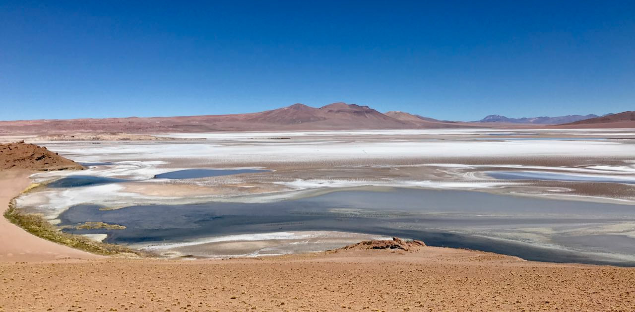
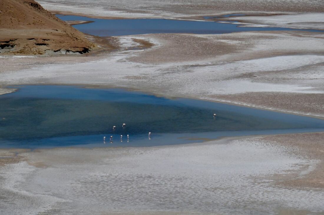
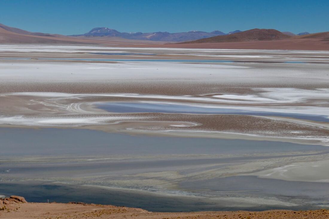
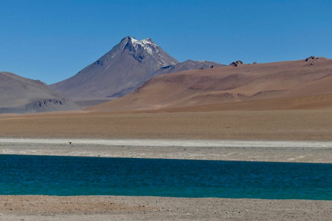
Laguna Quisquiro, a salt lake at 13, 800ft in Chile just over the border with Argentina. It even supports flamingos.
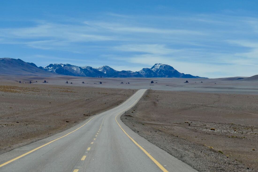
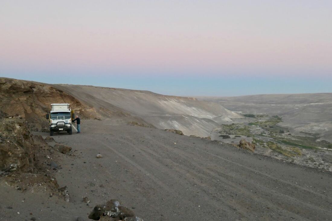
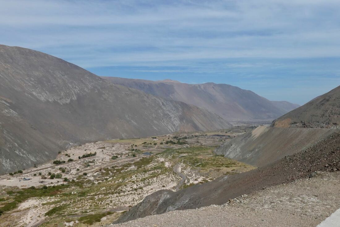
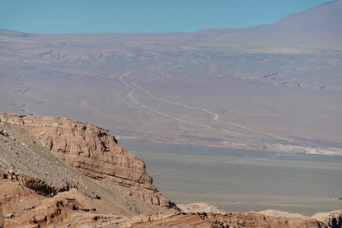 The road down was fairly straight and steep. If you look had you will see the bitumen road to the left of the two tracks.
14, 15 April 2019 San Pedro de Atacama 7800'/2384m
We crossed into Chile from Argentina via the Paso de Jama.
Chile does not allow one to enter with fresh fruit and vegetables or treated meat (read ham and smoked sausage). We had given away the little fresh produce we had but unfortunately some frozen meat was confiscated by the Chilean authorities who did a reasonably thorough search without dogs. The officer assured us that had the meat been cooked it would have been okay. The rules are interpreted differently by different officials I think. But that's the way it goes. No use arguing as they can make life very difficult.
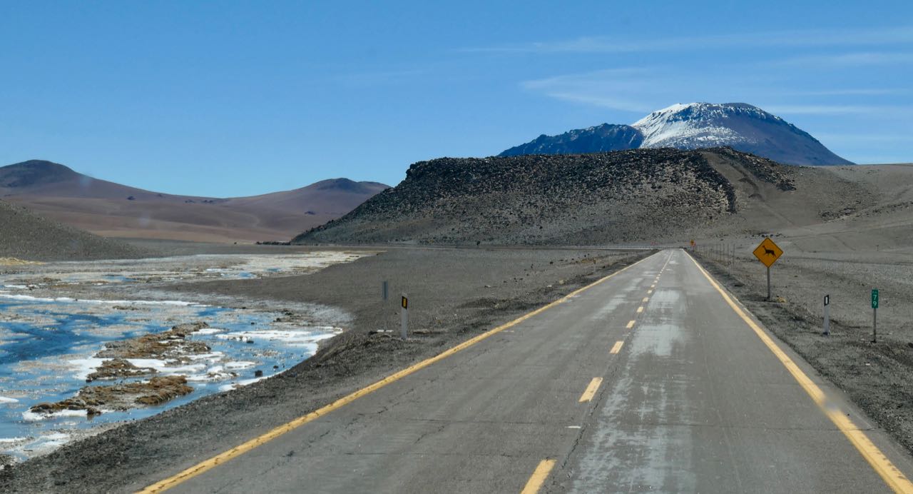
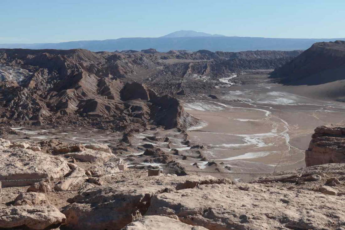
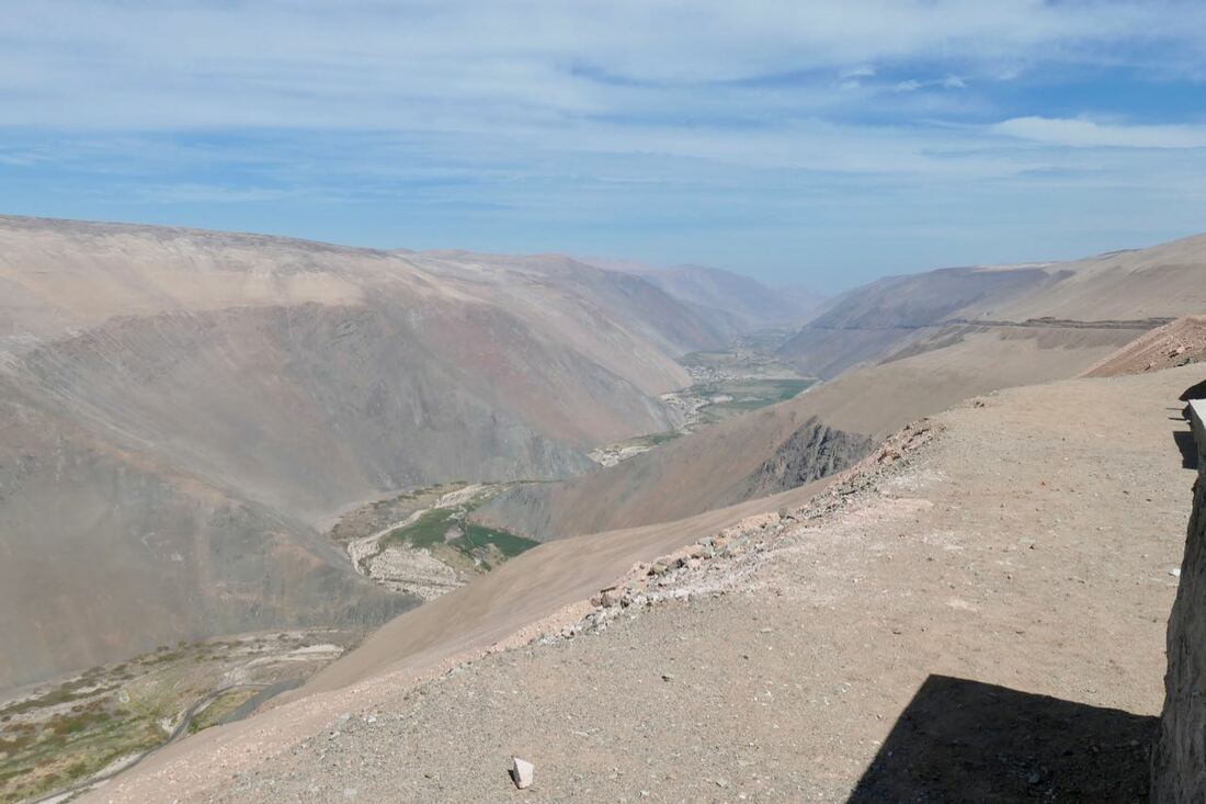
The scenery past the border was amazing with many salt lakes, some even with flamingos grazing surrounded by snow clad peaks. More guanacos, llamas and even a donkey on the drive across the plain to the highest point for the route, 15,833ft/4823m and then the straight steep descent to San Pedro de Atacama with the scenic Volcán Licancabur and Cerro Juriques by us.
We crossed into Chile from Argentina via the Paso de Jama.
Chile does not allow one to enter with fresh fruit and vegetables or treated meat (read ham and smoked sausage). We had given away the little fresh produce we had but unfortunately some frozen meat was confiscated by the Chilean authorities who did a reasonably thorough search without dogs. The officer assured us that had the meat been cooked it would have been okay. The rules are interpreted differently by different officials I think. But that's the way it goes. No use arguing as they can make life very difficult.
The scenery past the border was amazing with many salt lakes, some even with flamingos grazing surrounded by snow clad peaks. More guanacos, llamas and even a donkey on the drive across the plain to the highest point for the route, 15,833ft/4823m and then the straight steep descent to San Pedro de Atacama with the scenic Volcán Licancabur and Cerro Juriques by us.

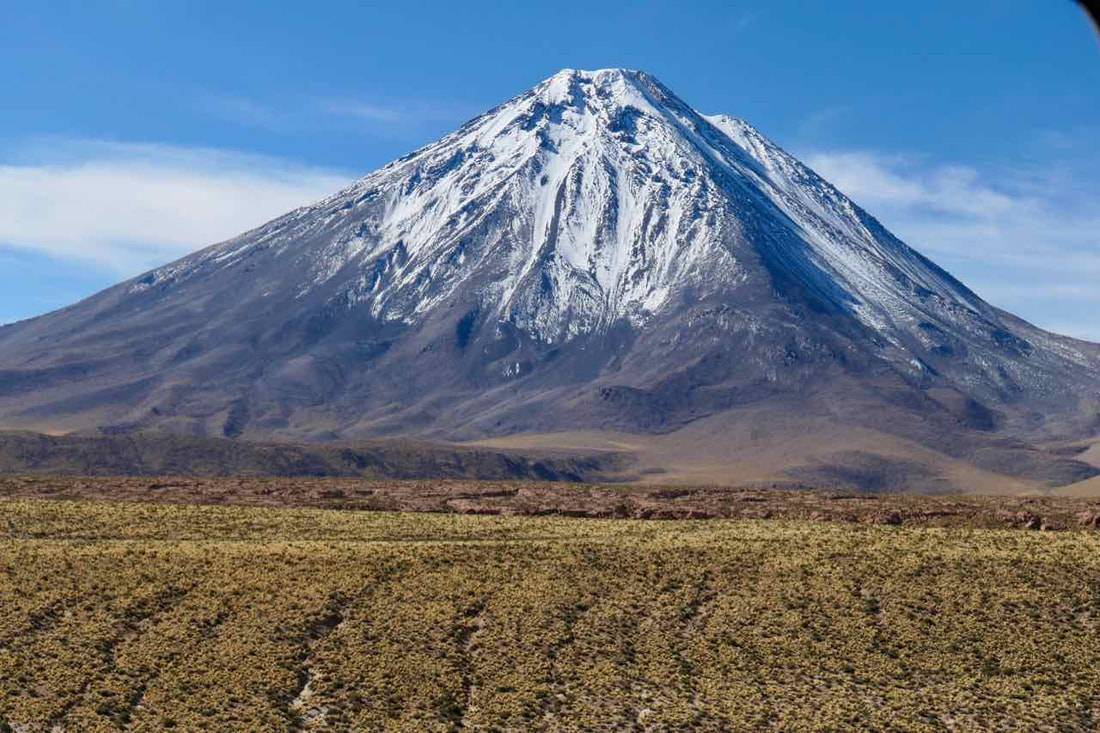

 Volcán Licancabur and Cerro Juriques
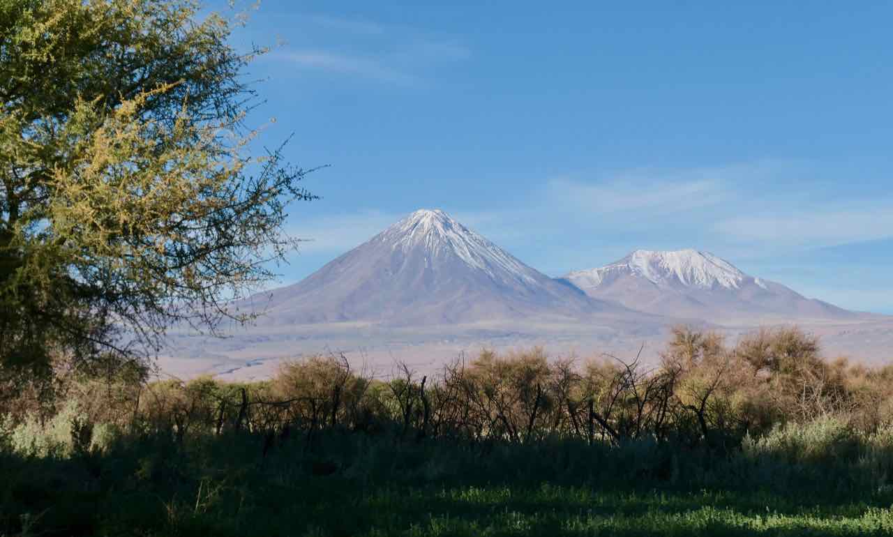
The view from our campsite outside San Pedro de Atacama was spectacular with the volcanoes surrounding the plain. Actually, a bit like the plains of Africa with Kilimanjaro in the background but no animals wandering across these plains.
We took some time out to acclimatize to the altitude before moving on to Calama.
We took some time out to acclimatize to the altitude before moving on to Calama.
16, 17 April Calama 7500'/2284m
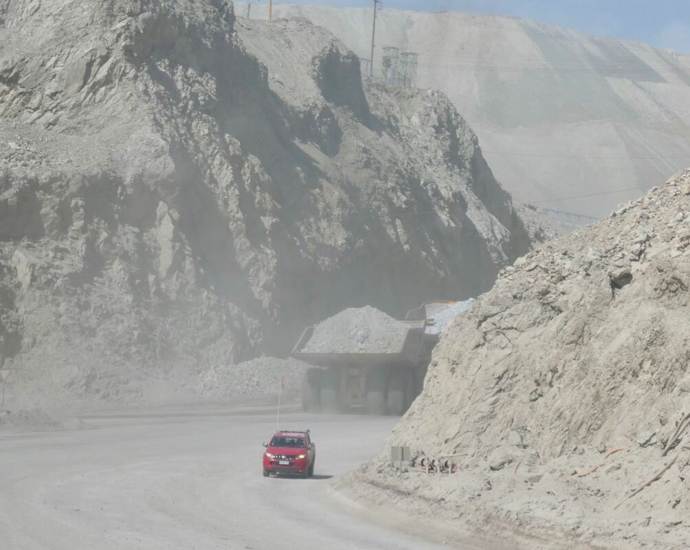
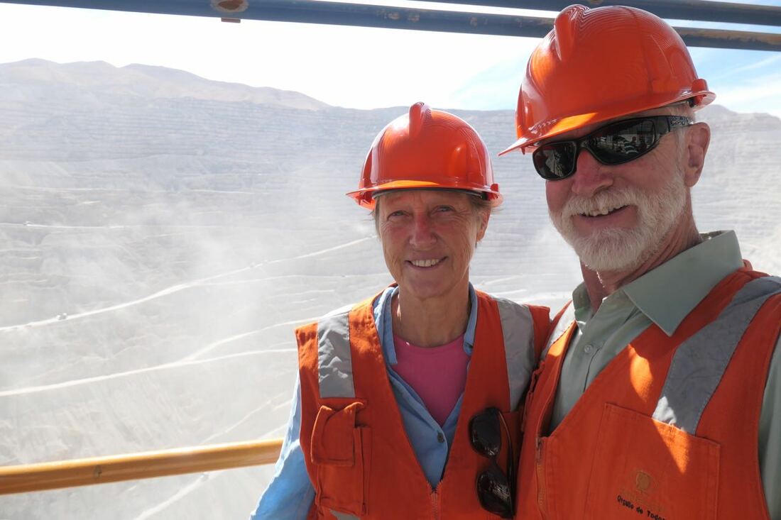
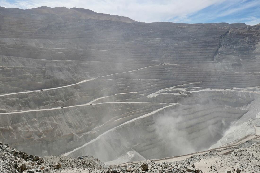
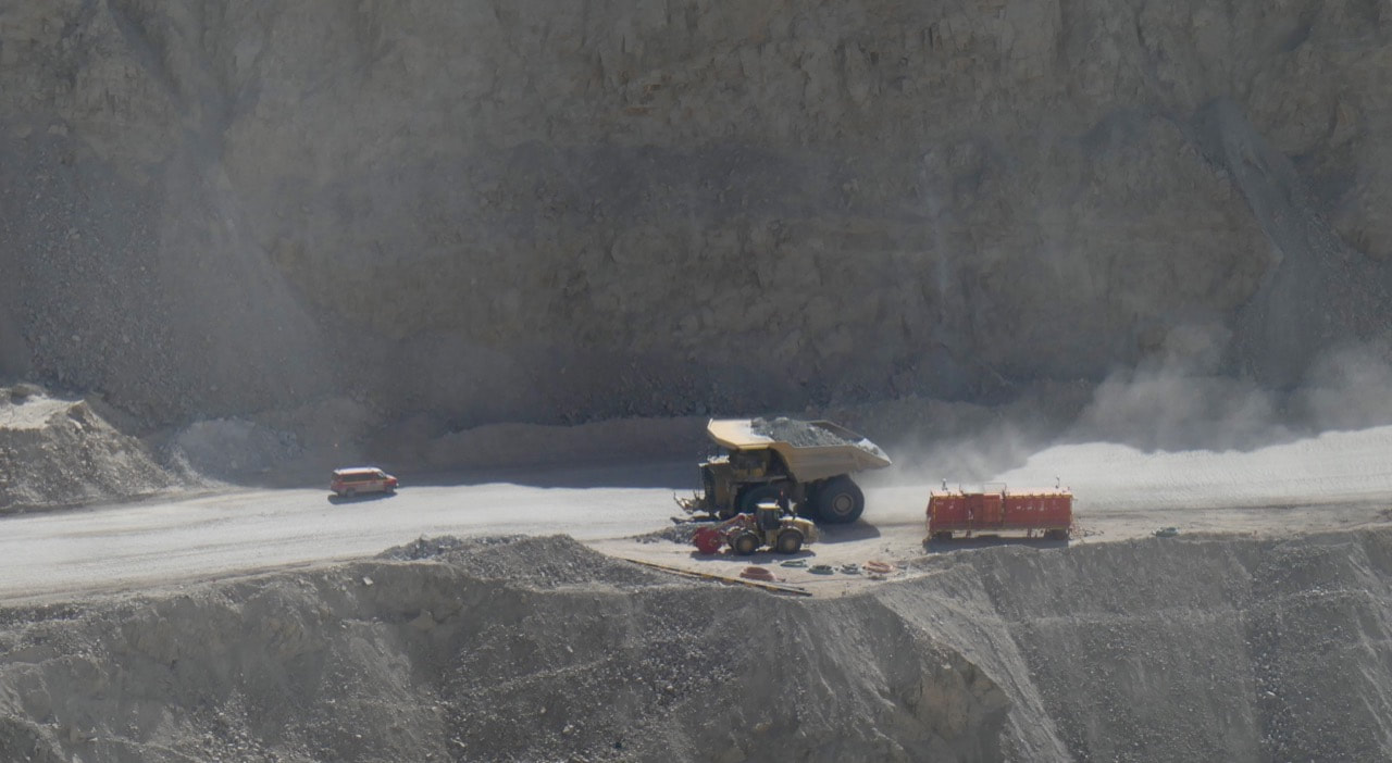
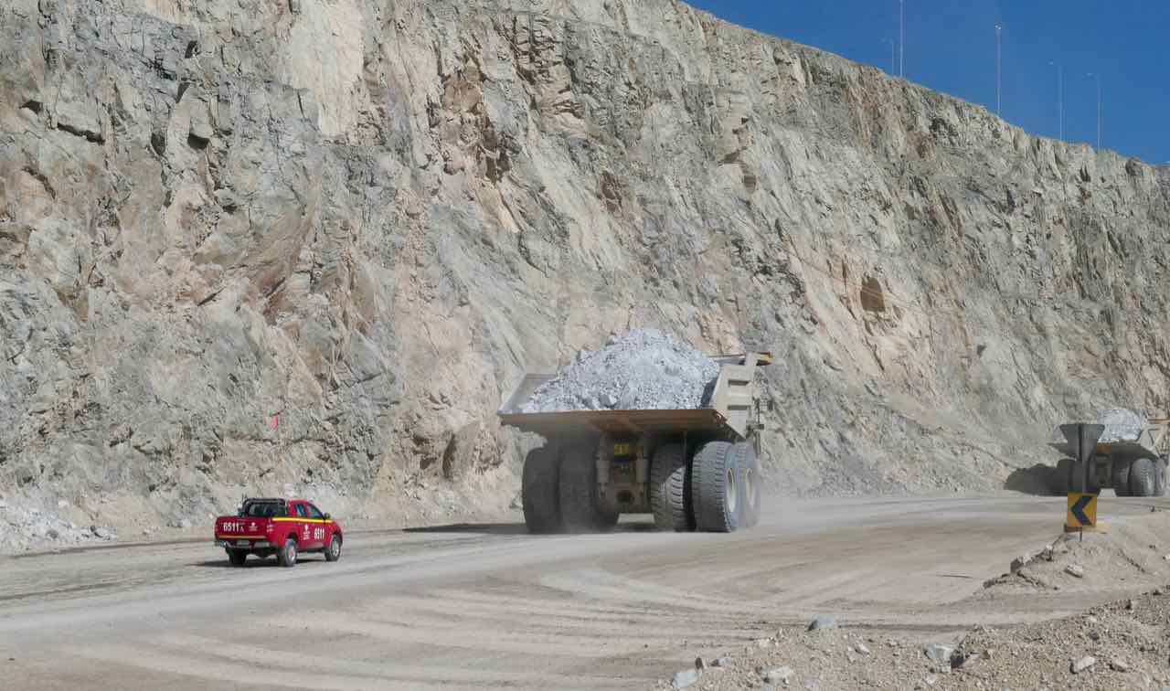
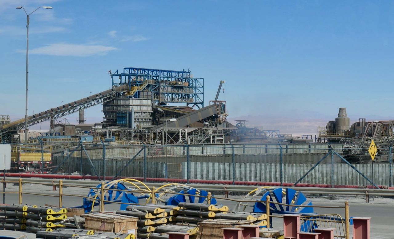
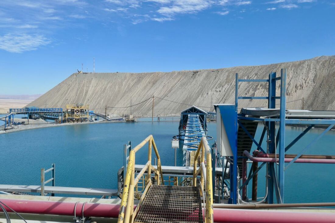
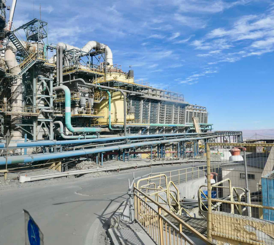
West of San Pedro is the Chuquicamata copper mine, the largest open cut copper mine in the world for now. The mine is commencing underground operations next month and will cease above ground operations in a year or so.
We were able to tour the mine whose dimensions are 5 kms long, 3 kms wide and 1 km deep.
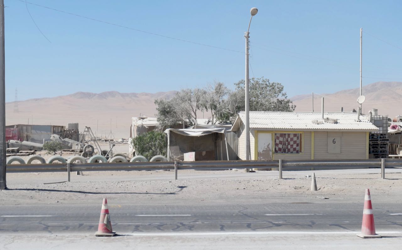
18 - 20 April Northern Chilean coast
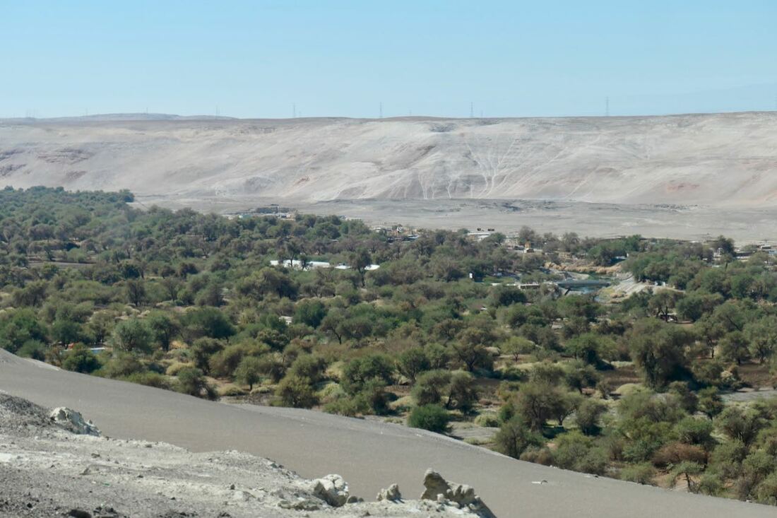
Finally left altitude with the ever descending drive down from Calama to Tocopilla on the coast.
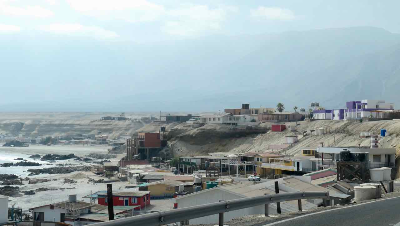
The coastal towns are squeezed between the steep cliffs of the mountains and the Pacific Ocean on a dry barren strip of land.
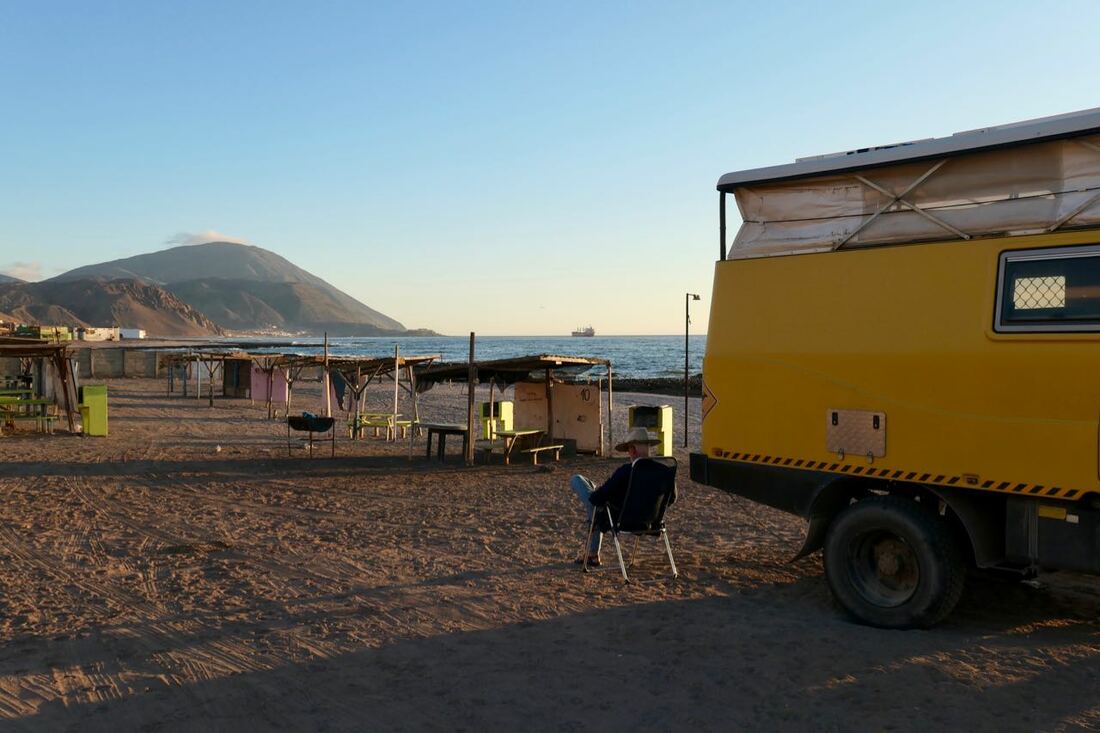
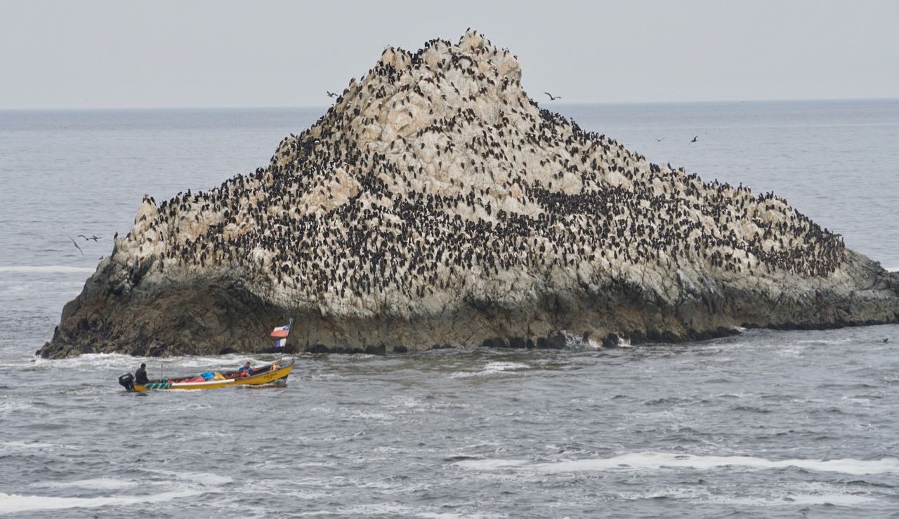
We had a couple of days of remote camping with beautiful views over surrounding beaches and rocky headlands. Many birds including Peruvian/Humboldt penguins, seals, lizards but no fish for Guy. It was a very relaxing time although Guy began to feel unwell.
Finally left altitude with the ever descending drive down from Calama to Tocopilla on the coast.
The coastal towns are squeezed between the steep cliffs of the mountains and the Pacific Ocean on a dry barren strip of land.
We had a couple of days of remote camping with beautiful views over surrounding beaches and rocky headlands. Many birds including Peruvian/Humboldt penguins, seals, lizards but no fish for Guy. It was a very relaxing time although Guy began to feel unwell.
21-30 April Antofagasta and beachcamps to the north.
We stayed on the coast driving south towards Antofagasta as Guy had not been feeling 100% since coming over the pass.
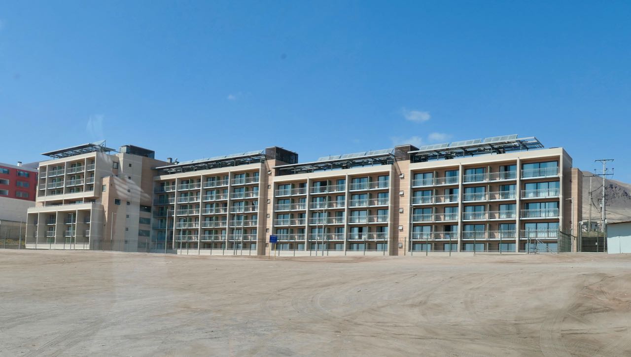
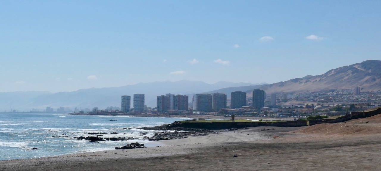
Antofagasta, on the Tropic of Capricorn is a port city and regional capital in the copper mining area in northern Chile’s Atacama Desert. There is a port for the Escondida copper mine to the south of Antofagasta and a huge port is being built to the north with a view to it being a Pacific port for Paraguay, Brazil, Argentina as well as Chile.
Guy had high temperatures for a few days as we drove down the coast and so we attended a hospital in Antofagasta where blood tests and an xray were taken. Nothing untoward showed up and so it was paracetemol to keep the temperature down, lots of fluids and hopefully it would pass in a few more days.
So we decided to spend a few days in a hotel and a couple in a campground in Antofagasta. During this time we did a small excursion south to the Mano del Desierto (Hand in the Desert) sculpture by Chilean artist Mario Irarrázabal. The sculpture is near the abandoned town of Yungay, one of the driest places on earth. It was all pretty dry to us!
We stayed on the coast driving south towards Antofagasta as Guy had not been feeling 100% since coming over the pass.
Antofagasta, on the Tropic of Capricorn is a port city and regional capital in the copper mining area in northern Chile’s Atacama Desert. There is a port for the Escondida copper mine to the south of Antofagasta and a huge port is being built to the north with a view to it being a Pacific port for Paraguay, Brazil, Argentina as well as Chile.
Guy had high temperatures for a few days as we drove down the coast and so we attended a hospital in Antofagasta where blood tests and an xray were taken. Nothing untoward showed up and so it was paracetemol to keep the temperature down, lots of fluids and hopefully it would pass in a few more days.
So we decided to spend a few days in a hotel and a couple in a campground in Antofagasta. During this time we did a small excursion south to the Mano del Desierto (Hand in the Desert) sculpture by Chilean artist Mario Irarrázabal. The sculpture is near the abandoned town of Yungay, one of the driest places on earth. It was all pretty dry to us!
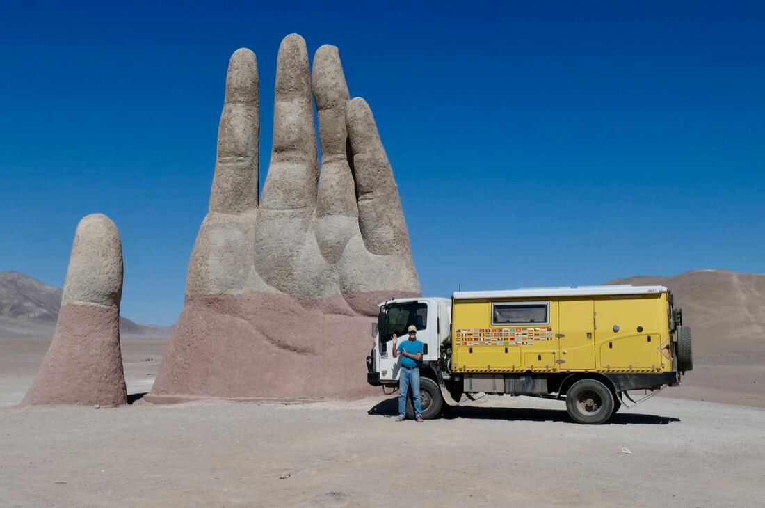
Mano del Desierto (Hand in the Desert) sculpture south of Antofagasta.
Guy slowly started to recover although he was still very tired and lacking energy. We returned to Calama to see how it felt at 7,500 feet and whether we should proceed to Bolivia that is much higher and colder. After a few days we decided to tackle Bolivia on our next trip and proceed north to Peru on the Panamerican Highway through the Atacama Desert.


1, 2 May
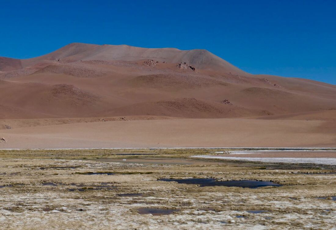
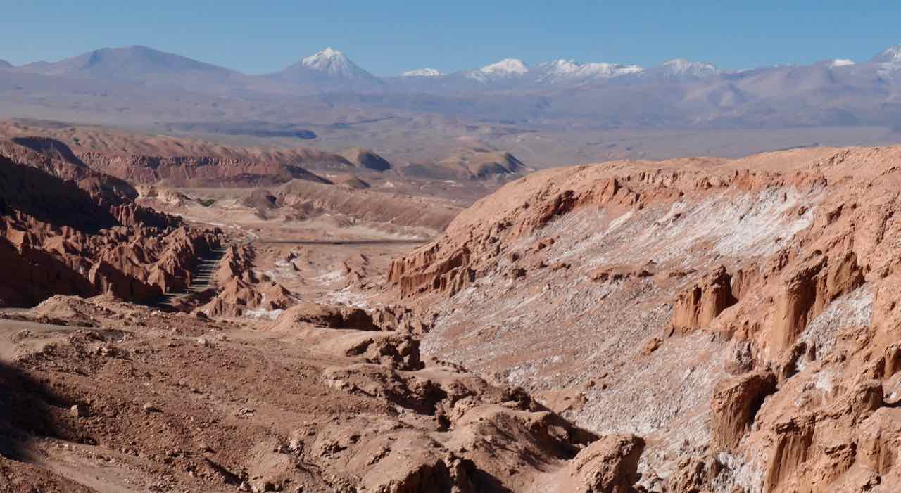
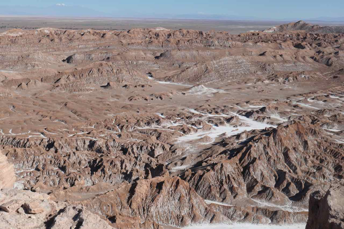
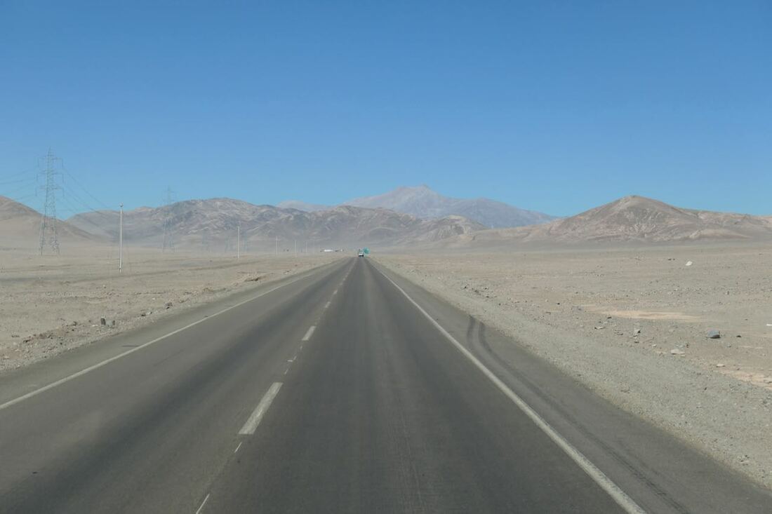
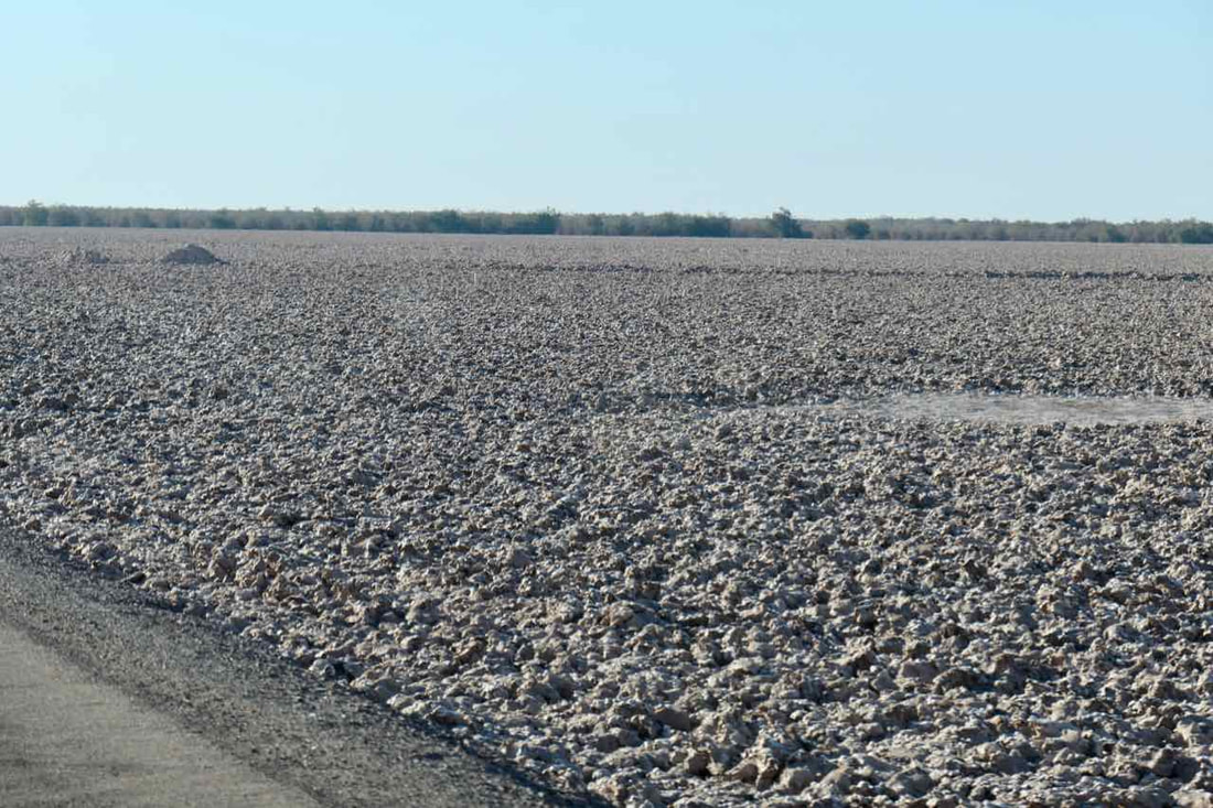
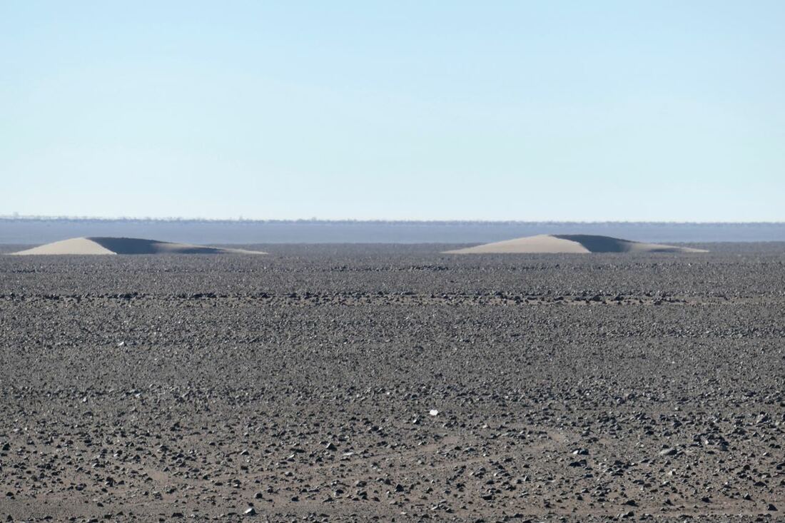
The Atacama Desert, the driest nonpolar desert on Earth, stretches across a roughly 1,000 kilometre tract of land wedged between the coastal mountain range and the Andes Mountains. It is the oldest desert on Earth and has experienced semi-arid conditions for roughly the past 150 million years. This is due to being tucked in the shadow of the snow-capped Andes Mountains, which block rainfall from the east and to the west, the upwelling of cold water from deep in the Pacific Ocean promotes atmospheric conditions that hamper the evaporation of seawater and prevent the formation of clouds and rain.
The region boasts stunning geologic formations and has provided scientists and mining companies with a wealth of research opportunities.
Sometimes it felt like we were on a huge mining lease as roads led off everywhere and small establishments were visible in the distance. A few were deserted saltpeter mines, some are mining copper for which fresh water is required and some are mining the brine under the desert from which miners extract lithium. There is a huge demand for lithium and it is growing especially for use in batteries. There are many concerns for the environment including a lack of understanding about how freshwater and brine interact beneath the salt lakes.


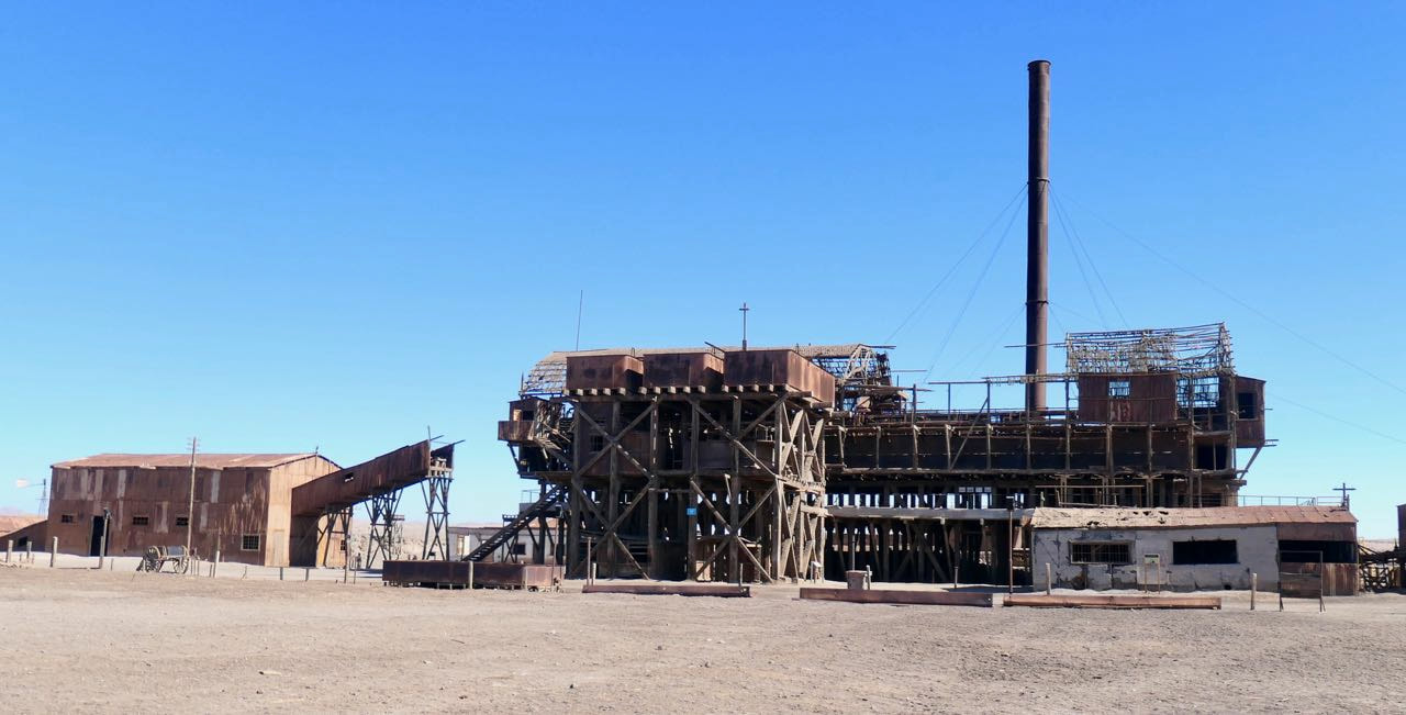 The Santa Laura installations are much better preserved. This is the leaching plant.
3 May
We started the day a few kilometres up the road at the UNESCO World Heritage listed Humberstone and Santa Laura saltpeter (salitrera) nitrate works.
The industrial site was developed from 1872 when thousands of people from Chile, Peru and Bolivia lived and worked in the hostile environment to process the largest deposit of saltpeter in the world. It produced the fertiliser sodium nitrate that transformed agricultural land worldwide.
Workers lived in company towns and forged a distinctive communal culture rich in creativity, solidarity and in their pioneering struggle for social justice,. This had a profound impact on social history and far-reaching effects on labour laws throughout Chile and further afield.
Over 200 nitrate mines operated in northern Chile, Bolivia and Peru.
During the Great Depression of 1929 the development of synthetic ammonia by the Germans led to the industrial production of fertilizers. Practically bankrupt, both Humberstone and Santa Laura were acquired by COSATAN (Compañía Salitrera de Tarapacá y Antofagasta) in 1934. The company tried to produce a competitive natural saltpeter by modernizing Humberstone, which led to its becoming the most successful saltpeter works in 1940.
Both works were abandoned in 1960 and in 1970, after becoming ghost towns, they were declared national monuments and opened to tourism. In 2005 they were declared a World Heritage Site by UNESCO.
 This is what we wanted to see close up.
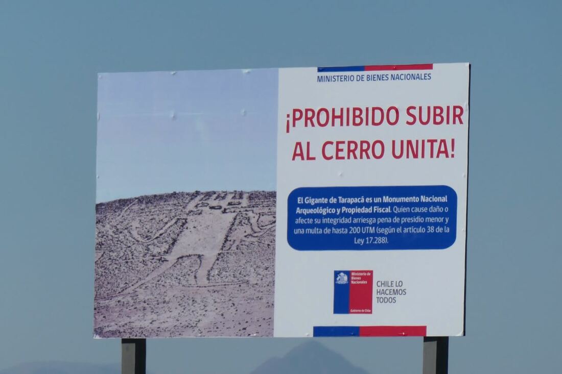
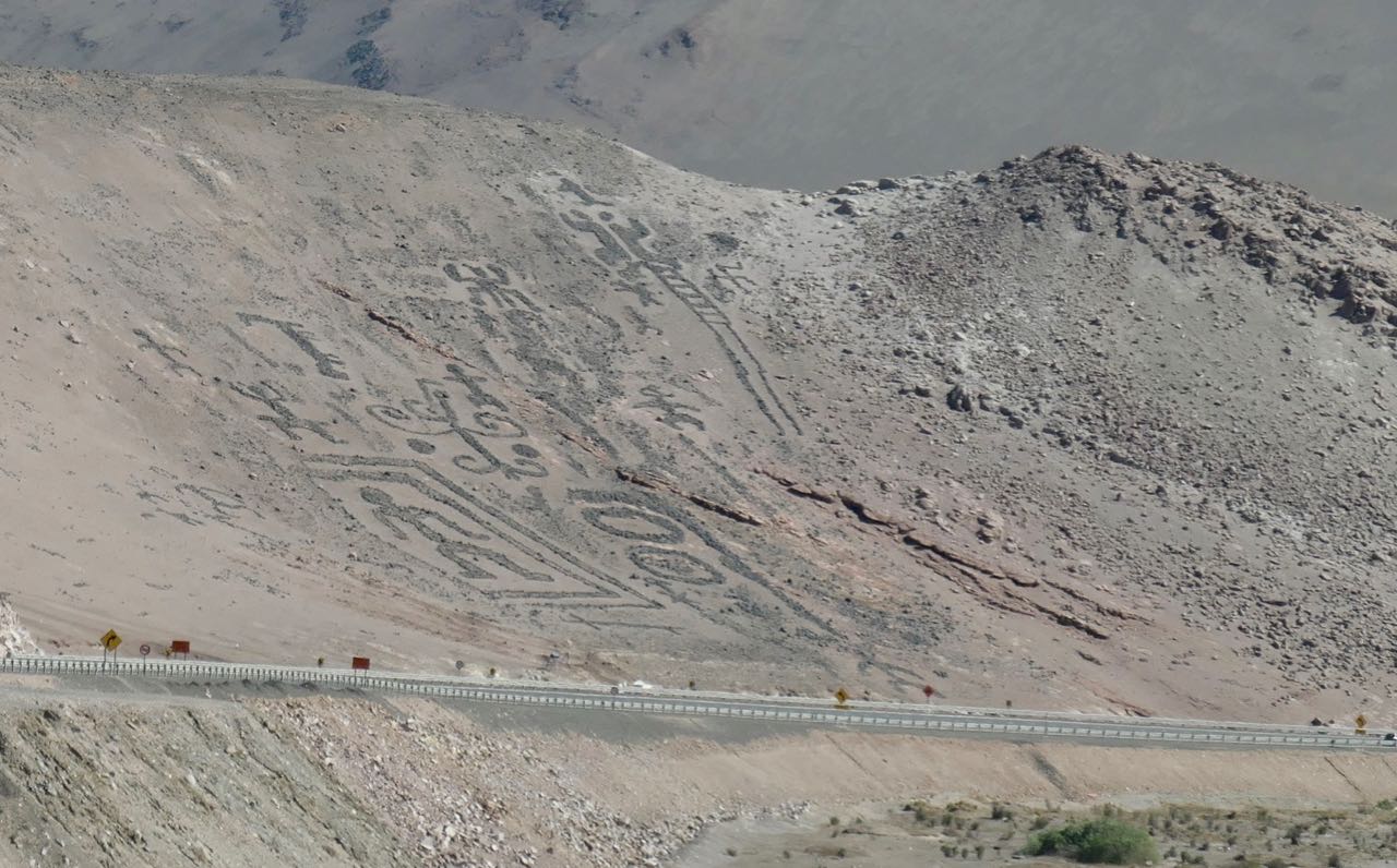
From Humberstone and Santa Laura we drove north to see the Atacama Giant (Gigante de Atacama) which is the largest prehistoric anthropomorphic figure in the world with a length of 119 metres. But we were out of luck, the entrance had been blocked and so we took a photo from a few hundred metres away.
We found out later that some tourists had driven around the geoglyph, irreparably damaging it two months earlier.
We found out later that some tourists had driven around the geoglyph, irreparably damaging it two months earlier.
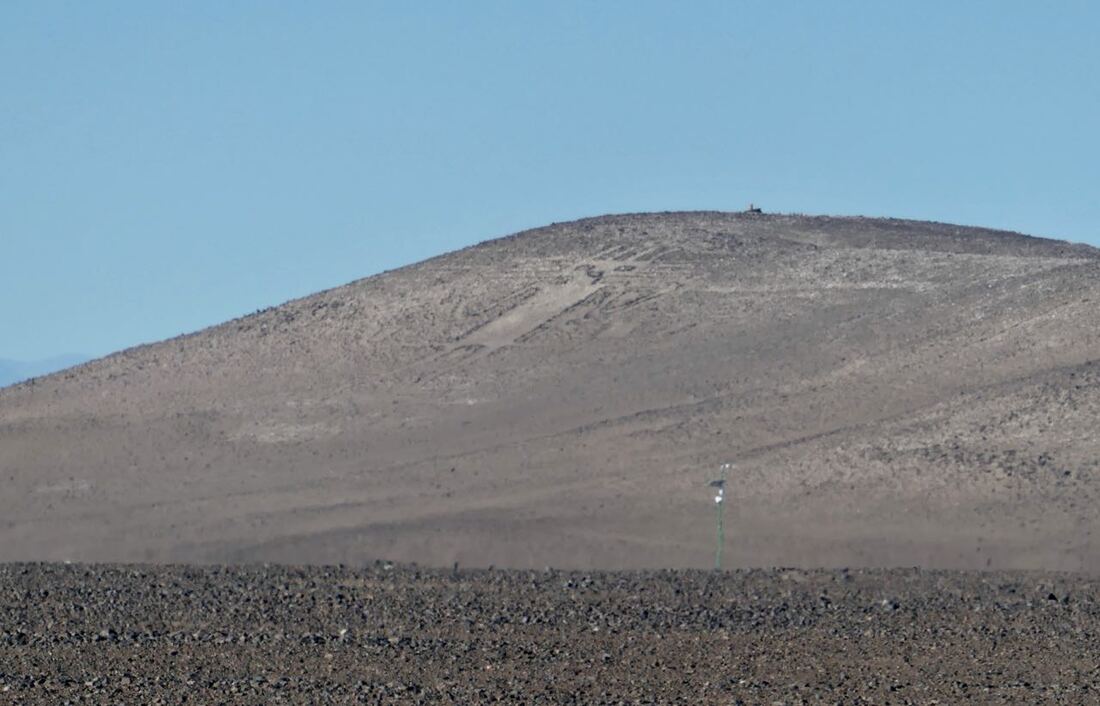 The best we could do.
Theories abound as to the meaning of the many geoglyphs in the Atacama. This one supposedly represented a deity for the local inhabitants from AD 1000 to 1400 indicating the seasons.
The geoglyphs of the Atacama Desert were produced by one of three techniques – ‘extractive’, ‘additive’, and ‘mixed’. The ‘extractive’ technique involves the removal of the top layer of soil on the hillside to create images on the surface. This is the more common of the techniques. The ‘additive’ technique, on the other hand, involves the gathering of material, such as stones or gravel, and piling them on the surface of the ground to form a raised outline. The ‘mixed’ technique employs both the ‘extractive’ and the ‘additive’ techniques in the formation of the geoglyphs. Fortunately, these geoglyphs have survived the passage of time, due to the weather conditions of the Atacama Desert.
The geoglyphs of the Atacama Desert were produced by one of three techniques – ‘extractive’, ‘additive’, and ‘mixed’. The ‘extractive’ technique involves the removal of the top layer of soil on the hillside to create images on the surface. This is the more common of the techniques. The ‘additive’ technique, on the other hand, involves the gathering of material, such as stones or gravel, and piling them on the surface of the ground to form a raised outline. The ‘mixed’ technique employs both the ‘extractive’ and the ‘additive’ techniques in the formation of the geoglyphs. Fortunately, these geoglyphs have survived the passage of time, due to the weather conditions of the Atacama Desert.
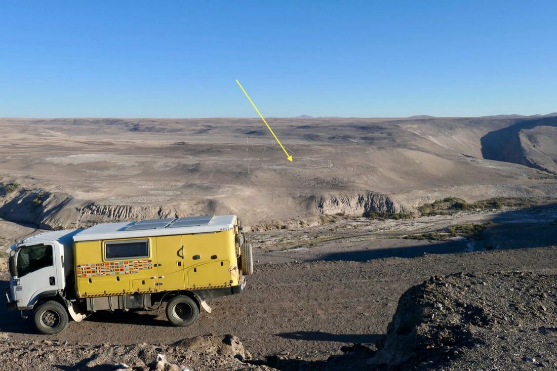
Further north we camped overlooking the Tilviche Canyon to a geoglyph on the other side.
The geoglyph drawn on a cliff face dates from the 10th century AD and represents a flock of llamas and their herdsman making their way towards the ocean. The huge fresco, 55 metres wide, probably served as a landmark for the caravans travelling from the Andes, across the desert to the Pacific coast and back again.
Our campsite was one of the best this trip due to its position overlooking the canyon, the geoglyph and isolation under the starry Atacama sky.
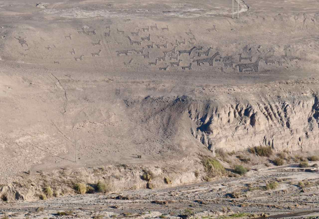
Geoglyph of a llama herder showing the way to the coast.

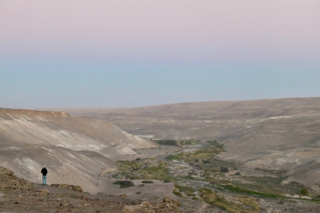
A great camp site
4 May - Saturday
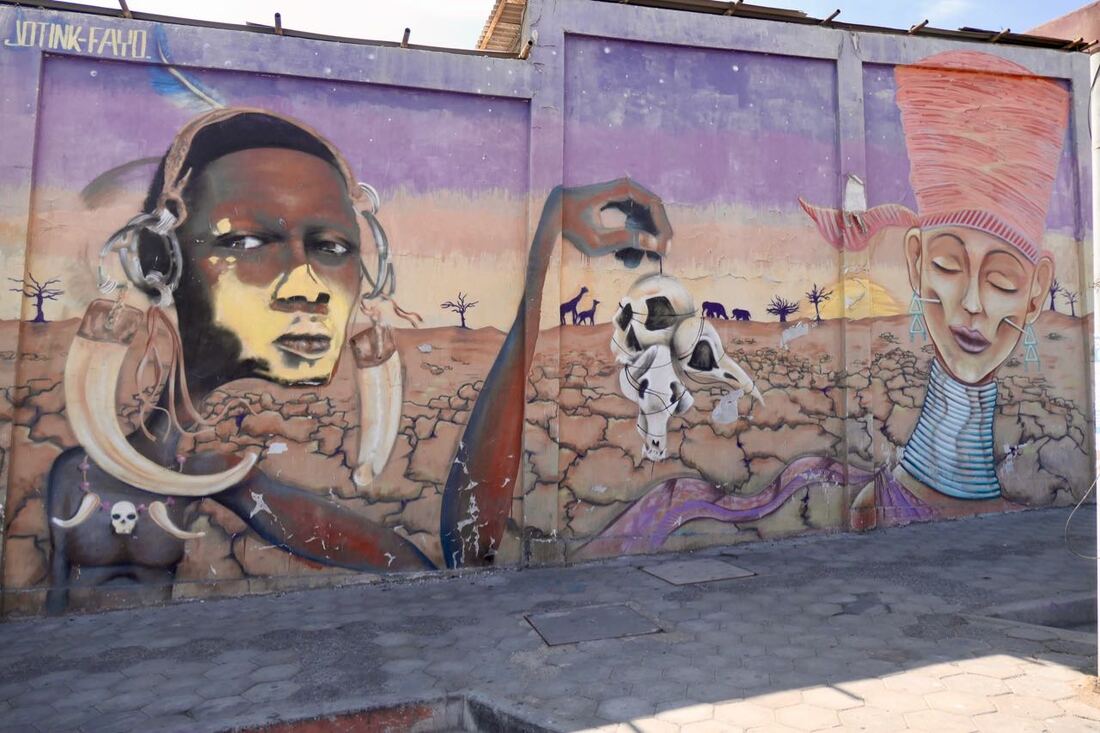
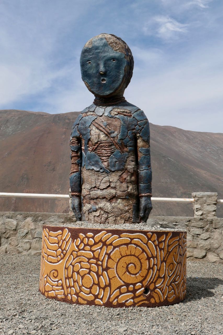
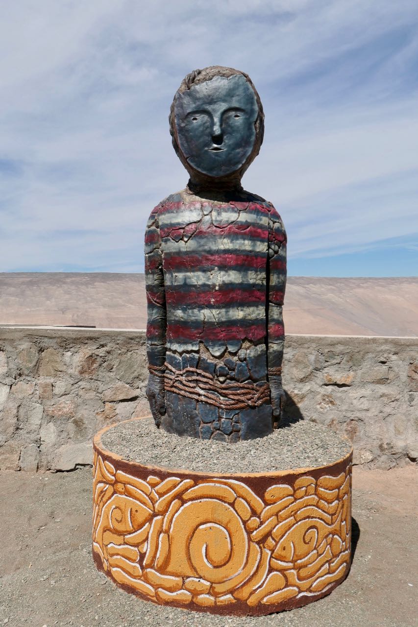
Beside the road as we climbed out of a steep valley were sculptures of Chinchorro mummies. The Chinchorro culture of South America lasted from 7,000 to 1,500 BC. The people were sedentary fishermen inhabiting the Pacific coastal region of current northern Chile and southern Peru. Presence of fresh water in the arid region on the coast facilitated human settlement in this area. The Chinchorro were famous for their detailed mummification and funerary practices. They were the first to mummify their dead, about 2000 years before the Egyptians.
Beside the road as we climbed out of a steep valley were sculptures of Chinchorro mummies. The Chinchorro culture of South America lasted from 7,000 to 1,500 BC. The people were sedentary fishermen inhabiting the Pacific coastal region of current northern Chile and southern Peru. Presence of fresh water in the arid region on the coast facilitated human settlement in this area. The Chinchorro were famous for their detailed mummification and funerary practices. They were the first to mummify their dead, about 2000 years before the Egyptians.
Sculptures of Chinchorro mummies at lookouts on the highway.
|
|
Finally we arrived in Arica, about 20 kms from the Chile/Peru border. But just before the town is a huge Coca Cola sign!
In 1986, to celebrate Coca-Cola’s 100th anniversary the largest Coca-Cola billboard in the world was constructed of 70,000 empty glass Coca Cola bottles - a Guinness World Record. Twenty-five years later the billboard was rejuvenated and updated.
In 1986, to celebrate Coca-Cola’s 100th anniversary the largest Coca-Cola billboard in the world was constructed of 70,000 empty glass Coca Cola bottles - a Guinness World Record. Twenty-five years later the billboard was rejuvenated and updated.
|
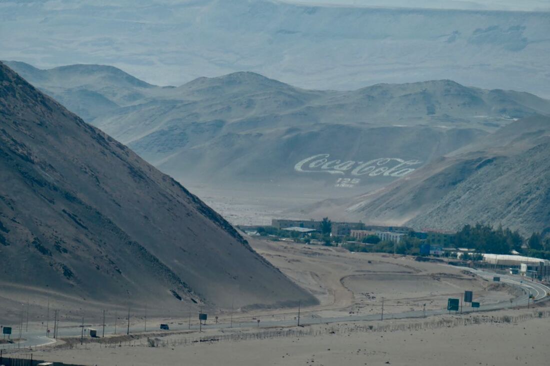
The Coca Cola sign is in the distance.
|
After a slow crossing at the border, we finally entered Peru in the late afternoon.